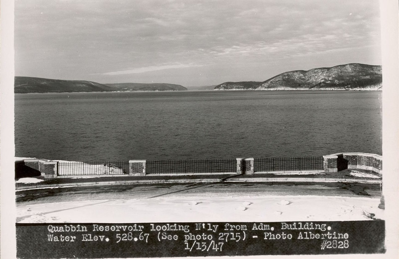
Quabbin Water Level
How full the reservoir is, and why it moves
Quabbin's water level is tracked daily by the MWRA and DCR, and its official status is set on the first of each month from how full the reservoir is. As of the MWRA's latest posted update (June 1, 2026), Quabbin was in "Below Normal" status, where it has been since February 2026 after a dry stretch. That means voluntary conservation only: no mandatory water restrictions for MWRA communities. Full capacity is 412 billion gallons.
The MWRA expects Quabbin's level to rise and fall through the year, and plans for it.
Water Level at a Glance
Where to Check the Current Level
The MWRA posts the drought status of the system on its Reservoirs and Watersheds page, and a reservoir elevation and water demand page on its site; DCR publishes annual watershed water quality reports on mass.gov. This page gives the status, not a daily number, which would be out of date the next day.
Why Quabbin's Level Moves So Much
The MWRA keeps Wachusett Reservoir, the next reservoir east, at a fairly fixed level, and lets Quabbin rise and fall with rain, snow and runoff. Quabbin is fed by the three branches of the Swift River and, in high-water months, by Ware River water sent through a two-way tunnel. On average it collects about half of the rain and snow that falls on its watershed, DCR says. At other times of the year, water flows east through the same tunnel from Quabbin to Wachusett.
Because Quabbin is so big, the MWRA says the system can get through short and medium droughts without a significant effect on its operating levels.
How Drought Status Is Set
The MWRA's Drought Response Plan defines stages by the percentage of Quabbin's storage that is full, with expected levels that vary by time of year to allow for the normal seasonal fill and drawdown. Quabbin's elevation is reviewed on the first of each month to set the stage. There are six reservoir status conditions in all. In "Below Normal," the MWRA asks for voluntary reductions; communities only partly on MWRA water, or not on it at all, follow state guidelines.
How Much Water Greater Boston Uses
The MWRA puts the safe yield of Quabbin and Wachusett together at about 300 million gallons a day, even in extended drought. System demand averaged 201.2 million gallons a day in 2024. It wasn't always so: from 1969 to 1988 the system routinely drew more than the safe yield, until a conservation program begun in 1986 (leak repair, low-flow fixtures in 370,000 homes, a plumbing-code change to 1.6-gallon toilets) brought use below it by 1989.
Highs and Lows in History
- 1946: the reservoir fills for the first time and water flows over the spillway.
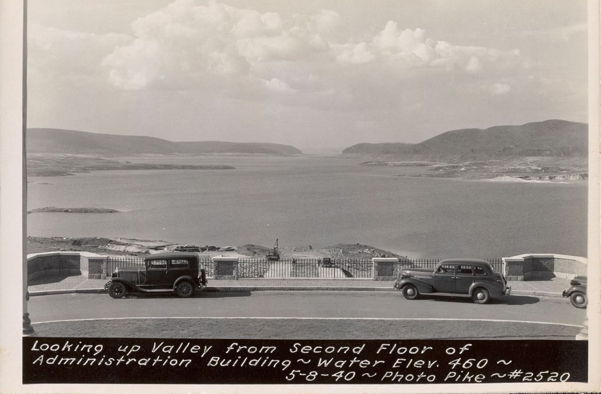
- 1960s: a long drought. On March 5, 1967, Quabbin was 34.3 feet below capacity, about 45% full (Friends of Quabbin). DCR says that drought changed how Quabbin and Wachusett are managed.
- April 3, 1976: full again for the first time since 1961.
- June 1, 1984: the highest level ever, 531.8 feet above Boston City Base, 103% of capacity.
- 1989–1990: a 17-year low leads to a declared water emergency; conservation brings daily use down from about 330 to 275 million gallons.
What Low Water Means for a Visit
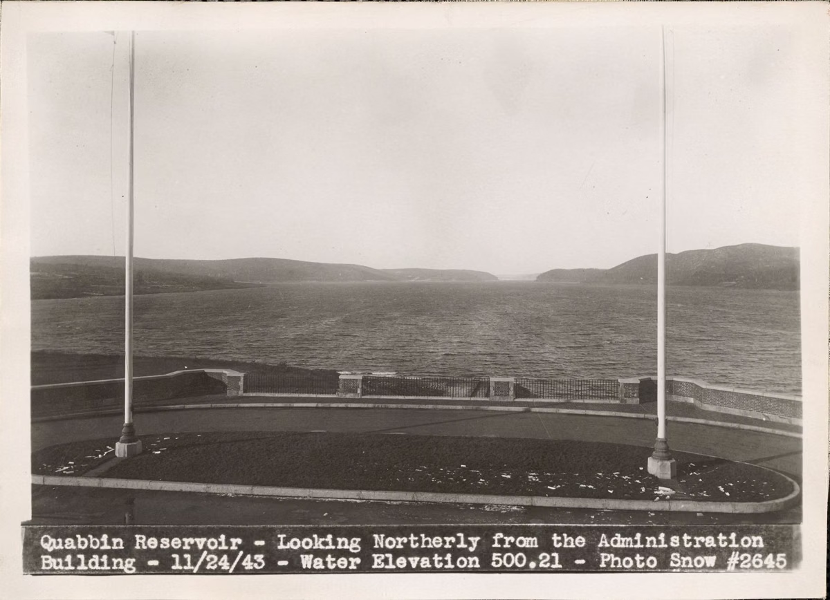
The spillway beside Winsor Dam only runs as a waterfall when the reservoir is full. The rules don't depend on the level: swimming, and wading in the reservoir, are banned whether the water is high or low. See rules.
Water Level FAQ
What is the Quabbin Reservoir water level now?
The MWRA reported Quabbin in Below Normal status as of June 1, 2026, where it has been since February 2026. Check the MWRA's Reservoirs and Watersheds page for the latest monthly status.
Is Quabbin Reservoir in a drought?
As of the MWRA's June 1, 2026 update it was in Below Normal status, with voluntary conservation asked of customers and no mandatory restrictions for MWRA communities.
How full can Quabbin get?
Capacity is 412 billion gallons. Its record high was 531.8 feet above Boston City Base, 103% of capacity, on June 1, 1984.
How low has Quabbin gotten?
In the 1960s drought it fell to about 45% full, 34.3 feet below capacity, on March 5, 1967, according to the Friends of Quabbin chronology.