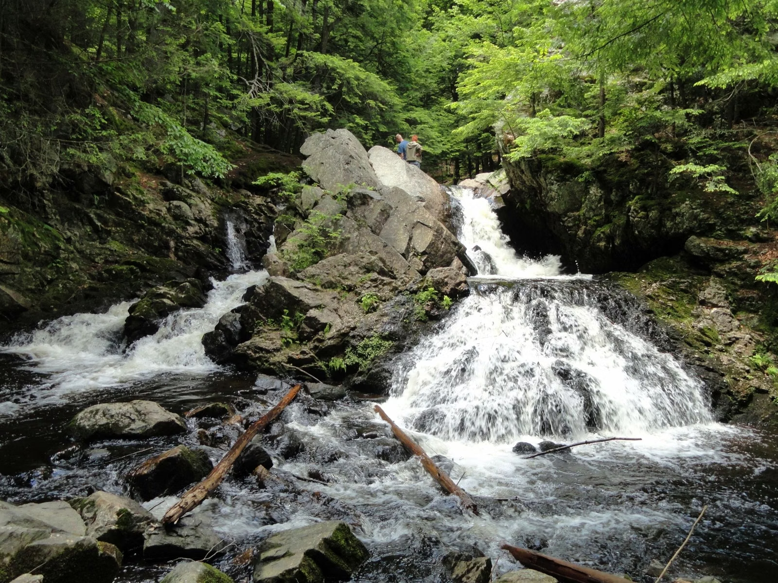
Quabbin Park Trail Map
Eight blazed trails, 14 miles of paths
Quabbin Park has eight named, blazed trails, from the half-mile Goodnough Dike Vista Trail to the 3-mile Webster Road out-and-back. DCR counts 14 miles of trails and forest roads in the 3,200-acre park, off Route 9 in Belchertown and Ware. The official maps are DCR's interactive Public Access Map and its StoryMap trail guides, one per trail.
Each trail is marked with dots in its own color. The distances below are DCR's, from its 2023 Quabbin Park trail guides. Out-and-back trails are given as the round trip.
Trails at a Glance
Where to Get the Official Map
- DCR's interactive Public Access Map shows every public road, trail and gate on the watershed. DCR recommends using its mobile app (ArcGIS Field Maps) in the field. Links are on our maps page.
- DCR's StoryMap trail guides, one for each Quabbin Park trail, with a map tour, stop-by-stop notes on plants and wildlife, and the names of the families whose former properties the trail crosses.
- Maps and information at the Quabbin Visitor Center, open Thursday through Tuesday.
The Trails, One by One
Tower Trail (red, 2.8 miles round trip)
The climb to Quabbin Tower on Quabbin Hill. It starts at the parking area just inside the Middle entrance and runs north, mostly as a footpath through birch, pine and oak, past stone walls of old farms. DCR's hike leaders say it gains 475 feet to the tower. The tower itself is closed, but the view from its base is open. You can also drive up to the tower lot.
Webster Road Trail (green, 3 miles round trip)
A wide dirt road through the middle of the park, starting across the road from the Hanks Meadow parking area. It was the old Long Hill Road from Enfield toward Ware. DCR's guide calls it wide and easy, slightly uphill at first. Just inside the gate is what DCR calls one of the best remnants in the entire reservation: the stone porch pillars and cellar hole of the Powers family's "Quaint Quabbin." A yellow connector trail climbs to the tower; past the Webster property the trail is discontinued and you turn back.
East Gate Trail (black, 2.6 miles round trip)
From the East entrance parking area on Route 9, north past Peppers Mill Pond and along Beaver Brook to the foot of Goodnough Dike. It stays low and passes a big borrow pit where fill was dug for the dam and dike. DCR recommends starting from the south end, because the north end has no car access.
Old Stone Trail (purple, 2.6 miles round trip)
A forest out-and-back on the east side of the park. Both trailheads connect to roads with car access, so you can start from either end.
Visitor Center Loop Trail (pink, 1.7-mile loop)
Starts just east of the Administration Building, inside the rotary on Winsor Dam. It descends through hemlocks to the Swift River below the dam, past the "Y" Pool where fly anglers fish, then climbs a ridge, which DCR calls the hardest part, before ending beside the visitor center. Park at the visitor center.
Spillway Trail (brown, 1.1-mile loop)
Two trailheads on the Administration Road, with parking just inside the Middle entrance. It starts at the Spillway Bridge, where a waterfall runs when the reservoir is full, follows the old bed of the Rabbit Run railroad past a view of the Y Pool and the dam, and loops back with gradual climbs.
Bald Mountain Hill Trail (orange, about 1 mile)
Just past the rotary near Quabbin Hill, on the Administration Road. A footpath loop with a spur on an old forest road out to a rock outcropping with a view, partly blocked by oaks. Parking is limited, so don't block the gate or the road.
Goodnough Dike Vista Trail (white, 0.5-mile loop)
From the Goodnough Dike parking area, a short forest loop to a small, steep vista with the dike on one side and the reservoir stretching into the distance on the other. Watch your footing at the overlook and stay on the marked path.
Choosing a Trail
- Shortest walk with a big view: Goodnough Dike Vista Trail, half a mile.
- Easiest walking surface: Webster Road Trail, a wide dirt road with one gentle hill.
- A real climb: Tower Trail, 475 feet up Quabbin Hill.
- History: Webster Road for cellar holes and stone pillars; Spillway Trail for the old railroad bed.
- Water and wildlife: East Gate Trail along Peppers Mill Pond and Beaver Brook.
- Combined loop: DCR's guided 3.6-mile loop from the Observation Tower lot down to Hanks Meadow and the shoreline and back up, with a stop at Enfield Lookout (about 350 feet of descent and climb).
Before You Hike
No dogs or horses, anywhere. Stay on the marked trails; DCR asks hikers not to follow informal paths, which erode and aren't maintained. Bikes stay on paved roads inside the reservation. Expect ticks and poison ivy, and wear orange in hunting season. Quabbin Park's 12 miles of road are open to cars only during posted hours; see hours. Longer hikes outside the park, through the numbered gates, are on the hiking guide.
Trail Map FAQ
How many miles of trails are at Quabbin Park?
DCR counts 14 miles of trails and forest roads open for hiking in Quabbin Park, including eight named, color-blazed trails.
Is there a Quabbin Reservoir trail map?
Yes. DCR publishes an interactive Public Access Map (best used in the ArcGIS Field Maps app) and a StoryMap guide for each Quabbin Park trail. Maps are available at the visitor center.
What is the best hike at Quabbin Park?
For a view, the Tower Trail (2.8 miles round trip, 475 feet up) or DCR's 3.6-mile loop past Enfield Lookout. For an easy walk with history, the Webster Road Trail.
Are dogs allowed on Quabbin trails?
No. Dogs are banned on all DCR Quabbin Reservoir land, including every trail in Quabbin Park.
Can you bike the Quabbin Park trails?
No. Bikes are allowed only on designated paved roads in Quabbin Park, not on the dirt trails.