Quabbin Reservoir —
Your Complete Guide
39 square miles of water, 181 miles of shoreline, four drowned towns and one simple rule: protect the water.
What is Quabbin Reservoir?
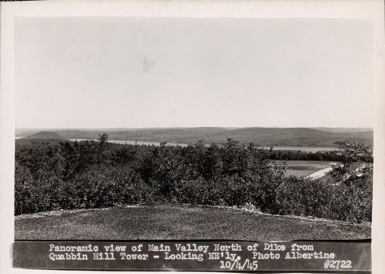
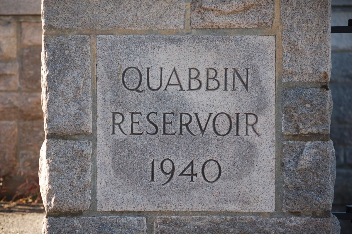
Quabbin Reservoir is the main drinking-water supply for 2.7 million people in 53 Massachusetts communities, a 412 billion-gallon lake in the Swift River Valley of central Massachusetts, run by DCR's Division of Water Supply Protection.It covers 39 square miles, runs 18 miles long and has 181 miles of shoreline. Visitors come for the views from Quabbin Park off Route 9, for the fishing, and for the story of the four towns that were emptied to build it.
It is not a state park, and the rules show it. Because Quabbin is one of the largest unfiltered water supplies in the country, DCR bans dogs, swimming, camping, fires, grills, alcohol, drones and horses on all of its Quabbin lands. Boats are allowed only for fishing. In return, the land around the water stays forest, and you can walk old town roads through it for free.
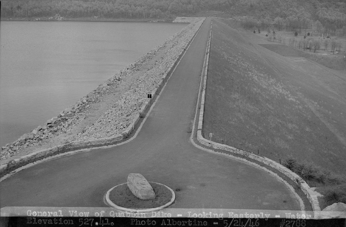
The reservoir filled in 1946, after the state took the towns of Dana, Enfield, Greenwich and Prescott and moved about 2,500 people out of the valley. Winsor Dam and Goodnough Dike, both in Quabbin Park, hold the water back.
Quabbin Reservoir at a Glance
What to Do at Quabbin
See the Views
Enfield Lookout, Winsor Dam, Goodnough Dike and the Quabbin Tower grounds are DCR's four classic viewpoints, all inside Quabbin Park off Route 9.
Enfield Lookout →Fish and Rent a Boat
Lake trout, landlocked salmon and big smallmouth bass. Boats launch and rent at Gates 8, 31 and 43 from the third Saturday in April to the third Saturday in October.
Fishing Guide →Hike Quabbin Park
DCR counts 14 miles of trails and forest roads in Quabbin Park, from a half-mile vista loop to the climb up Quabbin Hill.
Trail Map →Find the Lost Towns
Dana, Enfield, Greenwich and Prescott were emptied for the reservoir. Cellar holes, stone walls and Dana Common are still there to walk to.
The Lost Towns →Walk Through the Gates
Numbered gates on the roads around the reservoir lead walkers onto old town roads. A few are open to bikes.
How Gates Work →Visit the Visitor Center
DCR's staffed center at Winsor Dam, open Thursday through Tuesday. Maps, permits and the reservoir's history.
Hours & Directions →Start at Quabbin Park
Most visits start at Quabbin Park, the 3,200-acre peninsula at the south end of the reservoir with three entrances on Route 9 between Belchertown and Ware. The West entrance leads to the visitor center and Winsor Dam. The Middle and East entrances lead up to Enfield Lookout, Hanks Meadow, the Quabbin Tower and Goodnough Dike. Cars can't cross the dam or the dike, so pick your entrance by what you want to see. DCR says parking at the main entrance is limited and suggests the Middle or East entrance on busy days.
Fishing Season
The Quabbin Fishing Season runs from the third Saturday in April to the third Saturday in October; in 2026 that was April 18, 2026 to October 17, 2026. Shore fishing on the designated shorelines now continues to December 31. DCR rents aluminum boats with motors at the three launch areas, first come, first served. See the fishing guide and boat rentals.
Beyond the Park: The Gates
Around the rest of the reservoir, the public gets in on foot through numbered gates on Routes 202, 122 and 32A, from one hour before sunrise to one hour after sunset. Gate 40 in Petersham leads to Dana Common, the cleared center of one of the lost towns. The gates page explains which are open and which allow bikes, and the hiking guide lists walks DCR's own staff lead.
Questions?
The Quabbin Visitor Center at Winsor Dam is open 8:30 am–4:30 pm, Thursday through Tuesday (closed Wednesdays). Call (413) 323-7221.
Quabbin Reservoir FAQ
Can you swim in the Quabbin Reservoir?
No. Swimming and wading are banned everywhere on the reservoir because it is unfiltered drinking water for 2.7 million people. The only wading allowed is in boots while launching a boat at a launch area.
Are dogs allowed at Quabbin Reservoir?
No. DCR does not allow dogs anywhere on its Quabbin Reservoir lands, including Quabbin Park, and not in parked cars either. Service animals for people with disabilities are allowed.
Is Quabbin Reservoir free?
Yes. There is no entrance fee, and parking in Quabbin Park and at the gates is free. The three boat launch areas charge $6 per car during the fishing season.
Where is the best view of the Quabbin?
DCR calls Enfield Lookout the best view of the reservoir in Quabbin Park. Winsor Dam, Goodnough Dike and the grounds of the Quabbin Tower are the other classic viewpoints.
What towns are under the Quabbin Reservoir?
Dana, Enfield, Greenwich and Prescott were disincorporated on April 28, 1938, and about 2,500 people were moved out of the Swift River Valley. Parts of the towns are underwater; other parts are forest you can walk.
Can you kayak on the Quabbin?
No private canoes or kayaks are allowed. Boating is for fishing only, in DCR rental boats or sealed private motorboats, from the three launch areas during the fishing season.
Is the Quabbin Tower open?
No. DCR says the tower has been closed since 2020 for structural problems. You can still walk or drive to it on Quabbin Hill, but you can't go inside.
Can you camp at Quabbin?
No. Camping, fires, grills and alcohol are all prohibited on DCR's Quabbin lands. DCR points campers to state parks and private campgrounds in the region.