Enfield Lookout
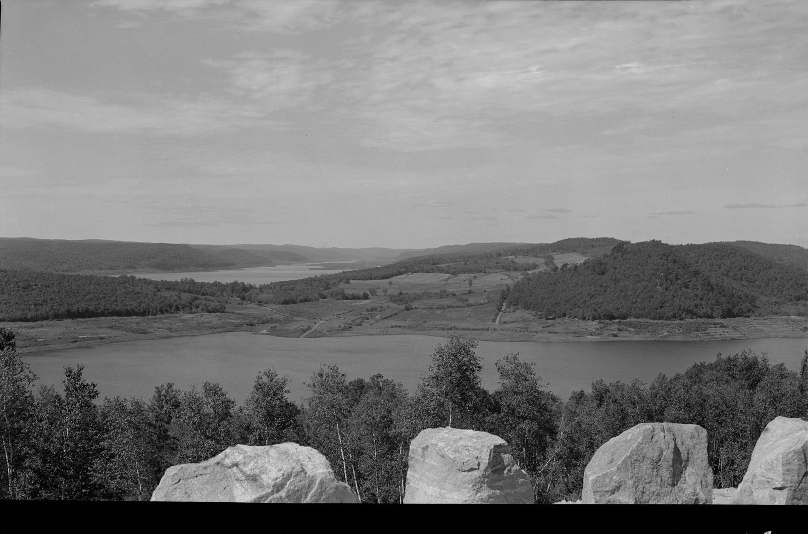
The view over the drowned town of Enfield
Enfield Lookout is a viewpoint in Quabbin Park, off Route 9 between Belchertown and Ware, that looks out over the reservoir where the town of Enfield stood until April 28, 1938. DCR calls it the best view of the reservoir in Quabbin Park. Parking is free, you can drive right to it on the park road, and it is open whenever the park road is open.
DCR names four popular viewpoints in Quabbin Park: Winsor Dam, Goodnough Dike, the Quabbin Tower and Enfield Lookout. It is the one that puts the history in front of you: a town was here.
Enfield Lookout at a Glance
How to Get to Enfield Lookout
Quabbin Park has three entrances on Route 9 between Belchertown and Ware. The West (main) entrance leads to the visitor center and Winsor Dam; DCR says parking there is limited and suggests using the Middle or East entrances for the rest of the park. From the Middle entrance, follow the Administration Road to the rotary and take the second turn, toward Enfield Lookout. DCR's directions put the Hanks Meadow picnic area about three-quarters of a mile past the lookout. The full route, with entrance names and gate numbers, is on the Quabbin Park page.
Cars cannot cross Winsor Dam or Goodnough Dike, so the lookout is reached from inside the park, not from the dam.
What You're Looking At
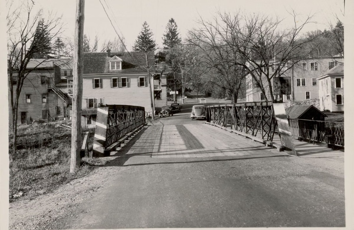
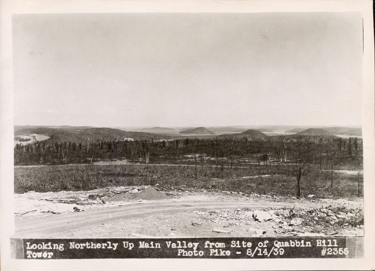
The water below the lookout covers the Swift River Valley. Enfield was one of four valley towns taken for the reservoir, with Dana, Greenwich and Prescott. It was incorporated in 1816 from parts of Greenwich and Belchertown, and it was disincorporated with the others on April 28, 1938. DCR describes the lookout as the former location of the now-submerged town. The story of each town, and what is left of them on land, is on the lost towns of the Quabbin.
The reservoir itself is 18 miles long, with 181 miles of shoreline and about 60 islands, according to DCR.
Hikes That Pass the Lookout
- Shoreline, Enfield Lookout and Webster Road loop, 3.6 miles. DCR's guided version starts at the Observation Tower parking area, drops about 350 feet to Hanks Meadow and the water, runs along the shore, then climbs back to the start, stopping at the lookout along the way.
- Bald Mountain Hill and Enfield Lookout, about 1.8 miles. DCR has run this as a family hike with about 100 feet of climbing, combining the Bald Mountain Hill Trail vista with the lookout.
- Tower Trail. The red-blazed trail from the Middle entrance climbs to Quabbin Hill and the tower. DCR's trail guide says the old Woods family property it crosses ran all the way up around the tower to the lookout.
Trail lengths and blazes for every Quabbin Park trail are on the trail map page; longer walks are on the hiking guide.
Fall Foliage at Enfield Lookout
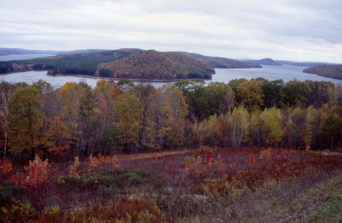
October is when searches for the lookout peak, and the forest around the reservoir is a reason why: DCR manages the watershed as forest to protect the water, and DCR owns all of the land around the reservoir itself, so the view is forested hills. Come on a weekday morning if you can. The park road is shared by everyone heading to the lookout, the tower and Hanks Meadow, and the posted vehicle exit time changes through the year.
Rules at the Lookout
The lookout follows the same rules as the rest of the watershed: no dogs (DCR also bans dogs in parked cars), no alcohol, no fires or grills, and no drones. Rangers sweep the park of cars before the gates are locked each night, and the right half of each gate is shut about 15 minutes early. If you see the right half closed, don't drive in. Full rules are on rules and regulations; times are on hours.
Enfield Lookout FAQ
Where is Enfield Lookout?
In Quabbin Park, off Route 9 between Belchertown and Ware. Enter at the Middle or East entrance, follow the Administration Road to the rotary, and take the second turn, toward Enfield Lookout. Hanks Meadow is about three-quarters of a mile past it.
Is Enfield Lookout free?
Parking is free: DCR says parking in Quabbin Park is free.
What town is under Enfield Lookout?
Enfield, one of the four Swift River Valley towns removed for the reservoir. It was disincorporated on April 28, 1938, along with Dana, Greenwich and Prescott.
Can you drive to Enfield Lookout?
Yes, on the Quabbin Park road while vehicle access is open (6:30 am to 6:30 pm as of October 18, 2026). The exit time is posted at the lookout and changes through the year.
Can I bring my dog to Enfield Lookout?
No. Dogs are not allowed anywhere on DCR's Quabbin Reservoir lands, including Quabbin Park, and not in parked cars either.
Is Enfield Lookout good for fall foliage?
Yes. It looks over a forested watershed: DCR owns all of the land around the reservoir and manages it as forest to protect the water. Searches for the lookout peak in October, so arrive early and watch the posted exit time.