Dana Common
Walk into one of the lost towns
Dana Common is the site of the town center of Dana, one of the four towns removed for the Quabbin Reservoir. It is on dry land in the Quabbin Reservation in Petersham, reached on foot or by bike from Gate 40 on Route 32A. DCR rates the walk at about 4 miles round trip, moderate. The buildings are gone, but the foundations, cellar holes, stone walls, granite posts and memorial stones are still there, and the site is on the National Register of Historic Places.
DCR calls the road to Dana Common a popular hike with Quabbin visitors. Dana held its last town meeting in March 1938 and was disincorporated on April 28, 1938; by the end of that year, DCR says, the last resident had moved away.
Dana Common at a Glance
How to Get to Gate 40
Gate 40 is on the west side of Route 32A, also called Hardwick Road, in Petersham. DCR's directions: coming from Route 122 to the north, it's about 3 miles down Route 32A on the right; coming from Route 32 to the south, it's about 9 miles up Route 32A on the left. Park beside the gate without blocking it; DCR tows cars parked in front of gates. From the gate, a road leads to the Common. There are no restrooms. More on how the gates work on the gates page.
What Dana Was
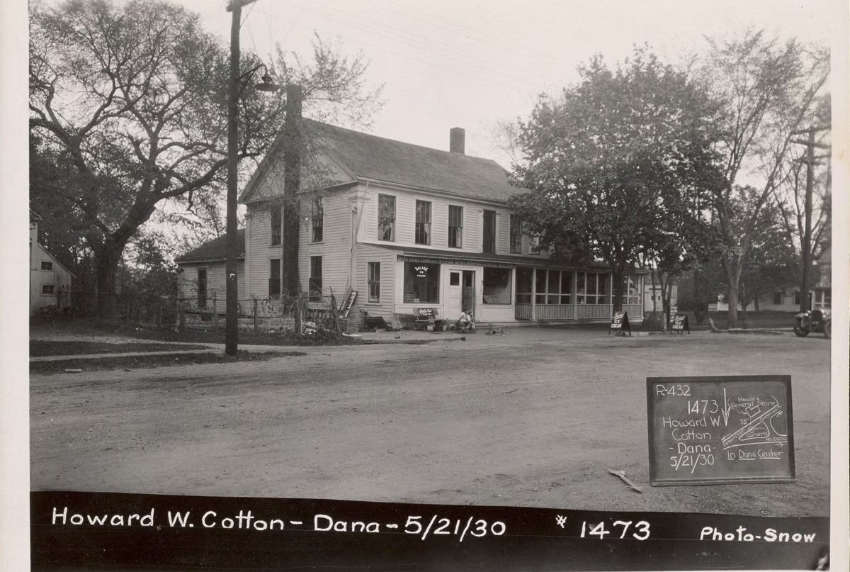
Dana was incorporated on February 18, 1801, and named for Francis Dana, a chief justice of the Massachusetts Supreme Judicial Court who gave the new town free legal help. It was four villages: North Dana, with mills on the middle branch of the Swift River; Doubleday Village; Storrsville; and Dana Center, built around a small triangular common. DCR dates most of the center's earliest buildings to 1840–1855: the store and post office, the town hall, the first school room, and the hotel and tavern. The center also had a Congregational church, two cemeteries and about two dozen homes and barns. Dana peaked at 876 people and, from the later 1800s, drew summer visitors.
What You'll See on the Way
DCR's StoryMap tour of the road names the families who lived along it. Highlights:
- The Carter place, the town poor farm from 1866 to 1921; the three-sided stone barn foundation still stands.
- Fields planted as pine plantations in the 1940s, harvested in the 1980s and returned to open land.
- A stone carved "1899 Marcille" where Moses Marcille's first blacksmith shop stood, and the Marcille family's stone root cellar.
- Brown's Evergreen Cemetery, a 1.3-acre lot where the owner planted 2,000 evergreens (the graves were moved).
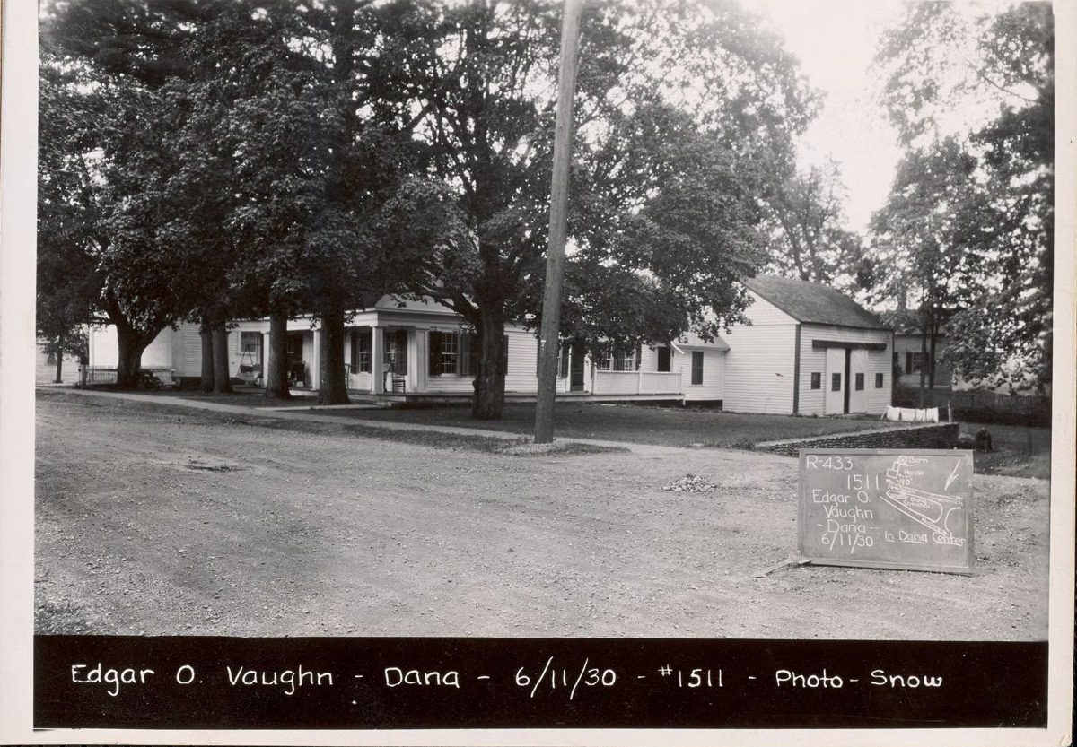
- The Vaughn family's pebble retaining wall, built from smooth river stones and still standing.
- Through the field past the Cooley house site, Pottapaug Pond.
On the Common
- The "Dana Sentinels": granite posts that were the south fence of the 2.5-acre Dana Center Cemetery. DCR says 714 graves were moved from it, many to Quabbin Park Cemetery.
- The school and town hall foundations. The school, which also held the village library, sold at auction in 1938 for $110; the town hall, a former Petersham Baptist church moved to Dana around 1800, sold for $90. DCR says the town hall foundation is easiest to see in fall and winter.
- The Congregational Church site. Built in 1853; its last service was July 31, 1938, with 60 people. The cellar hole and paved walk remain, and the bell went to a church in Worcester.
- The Eagle Hotel site. Dana's oldest hotel, built in 1835 by Reverend Joshua Flagg, with fifteen rooms and six fireplaces.
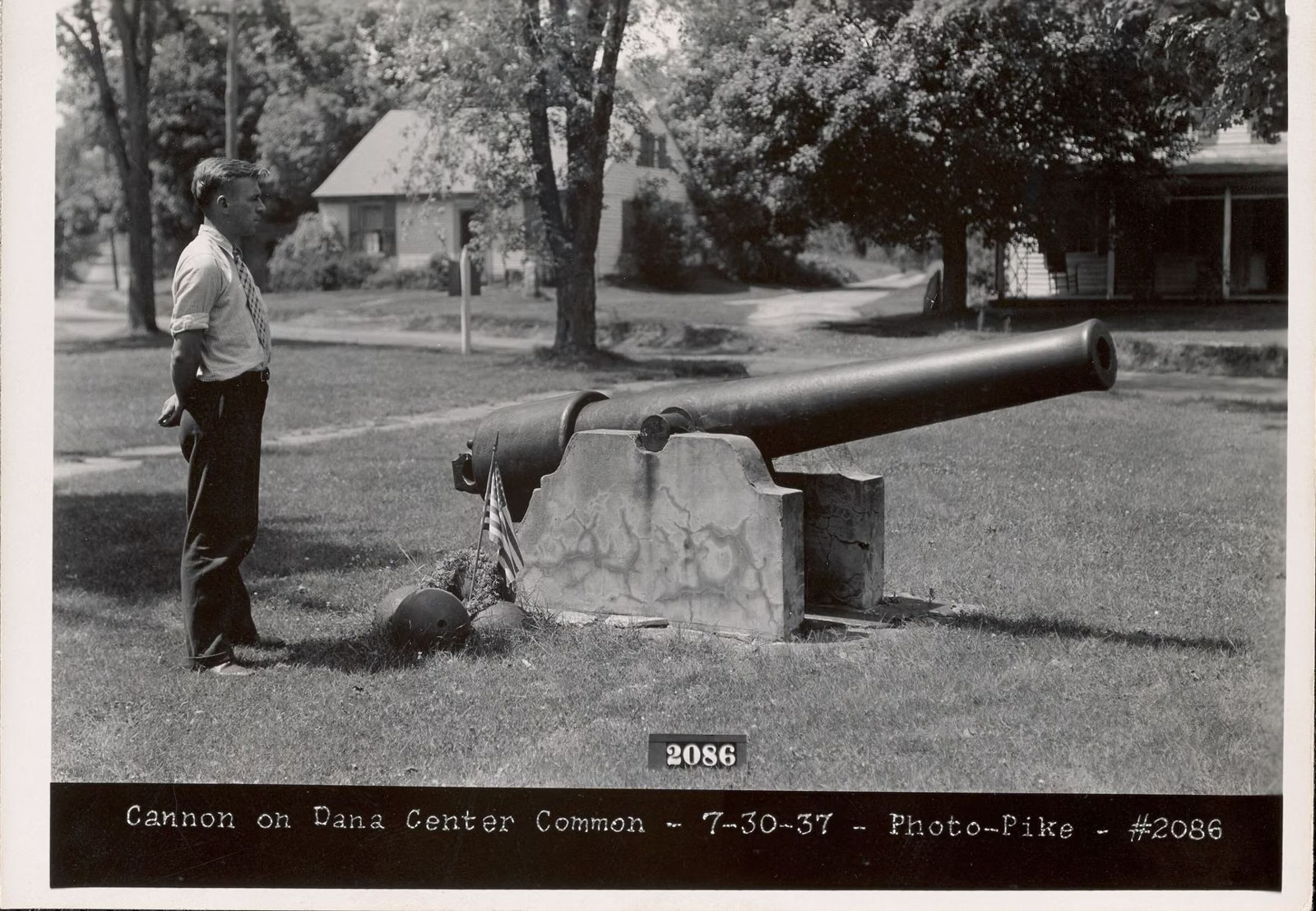
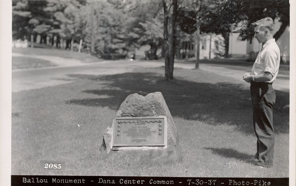
- Monument bases. Dana's monuments, a 1923 Dana Women's Club stone honoring Hosea Ballou (who lived in Dana from 1794 to 1802 and taught school and preached near the Common), a Civil War cannon and a war memorial plaque, were moved to Quabbin Park Cemetery; their stone bases are still visible on the Common. DCR's Trip-Tip also points out two stones at the Common marking the town's history.
The Dana Common Historic and Archaeological District was listed on the National Register of Historic Places in 2013. DCR describes it as a landscape whose buildings are gone but whose foundations, cellar holes, stone walls, fence posts and open spaces still show the town.
Tips for the Walk
- Bring water; there are no facilities.
- Bikes are allowed on the road through Gate 40; stay off side trails.
- Leave everything where it is. Removing artifacts is prohibited on DCR watershed land.
- Wear orange in hunting season and check for ticks afterward.
- No dogs, fires or alcohol.
The rest of Dana's story, and the other three towns, are on the lost towns page. Other gate walks are on the hiking guide.
Dana Common FAQ
How do you get to Dana Common?
Walk or bike in from Gate 40 on the west side of Route 32A in Petersham, about 3 miles south of Route 122. DCR rates the round trip at about 4 miles, moderate.
How long is the walk to Dana Common?
About 4 miles round trip from Gate 40, according to DCR.
Can you bike to Dana Common?
Yes. DCR allows bicycles on the designated road through Gate 40.
What is left at Dana Common?
Foundations of the school and town hall, the church cellar hole, cellar holes of homes, stone walls, the granite fence posts of the old cemetery, two memorial stones, and the stone bases of monuments that were moved to Quabbin Park Cemetery.
Are dogs allowed at Dana Common?
No. Dogs are not allowed anywhere on DCR's Quabbin Reservoir lands, including the road to Dana Common.