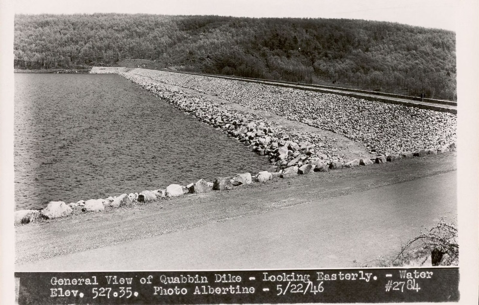
Goodnough Dike
The reservoir's second dam
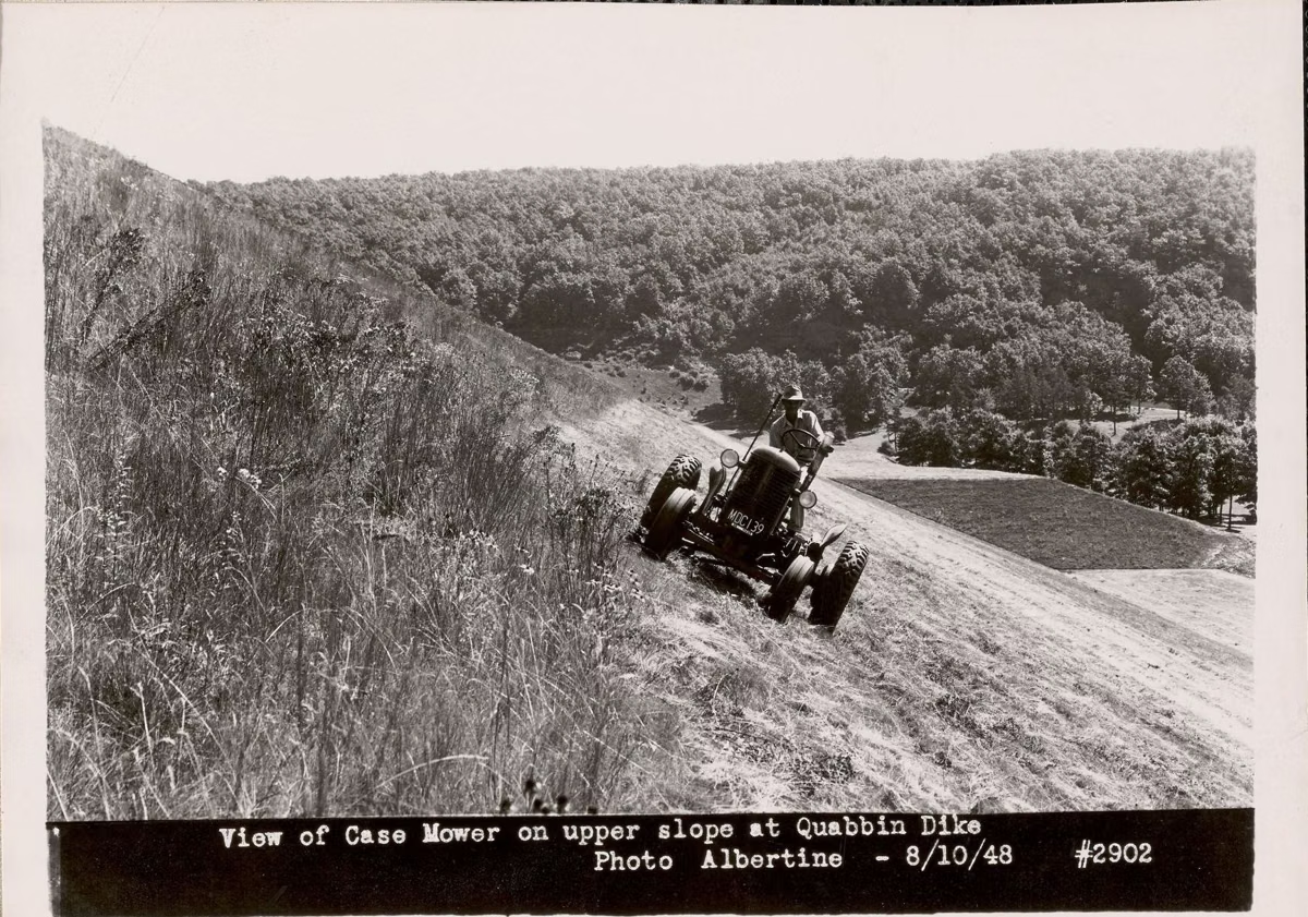
Goodnough Dike is the Quabbin Reservoir's second dam, a 2,140-foot earthen dike at the east end of Quabbin Park, completed in 1938. Together with Winsor Dam it holds back the reservoir's 412 billion gallons. There is a free parking area beside it, you can walk across the top, and a half-mile trail leads to a vista over the dike and the water. Cars can't cross it.
DCR names it as one of the places to park when the main entrance lot by the visitor center is crowded.
Goodnough Dike at a Glance
How to Get to Goodnough Dike
Enter Quabbin Park at the Middle or East entrance on Route 9 and follow the park road to the Goodnough Dike parking area. The paved road there forms a loop: DCR's trail guide describes it going across the dike, down to a field and back up to the gate. Cars stay off the dike itself; DCR restricts vehicle access on both Goodnough Dike and Winsor Dam for security. The vehicle exit time is posted at Goodnough and changes through the year; see hours.
Walking the Dike
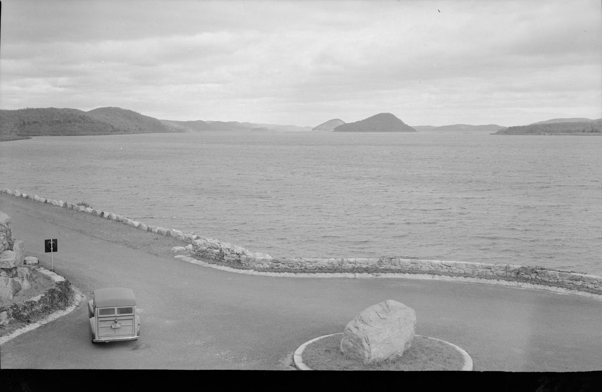
DCR's own winter guide suggests driving to Goodnough Dike, walking across, and enjoying the view of "Mt. Liz." The dike is one of the four viewpoints DCR names in Quabbin Park, with Winsor Dam, Enfield Lookout and the Quabbin Tower.
Goodnough Dike Vista Trail
This white-blazed, 0.5-mile forest loop starts on the upper road of the Goodnough Dike loop, a short walk from the parking area. At a T intersection, the right branch climbs to a small, steep viewpoint. DCR's guide describes the view: Goodnough Dike to your right, the reservoir stretching into the distance on your left, with some of the islands visible through the trees. The footing at the top is tight, so take care. An unofficial path branches off near the vista; DCR asks hikers not to use it.
The whole loop is on what was the property of Chester E. and Elizabeth P. Morris before the reservoir. DCR's guide also notes the area's mix of hardwoods, pines, shrubs and wetland, with birdsong year-round.
From the Bottom: the East Gate Trail
The black-blazed East Gate Trail (2.6 miles round trip) runs from the East entrance parking area north past Peppers Mill Pond and along Beaver Brook to the foot of the dike. DCR's guide explains that Beaver Brook once flowed through the spot where the dike now stands, and points out a large borrow pit along the way, where rock and soil were dug out as fill for the dam and dike. Start from the south end; the north end has no car access. See the trail map.
Why There Are Two Dams
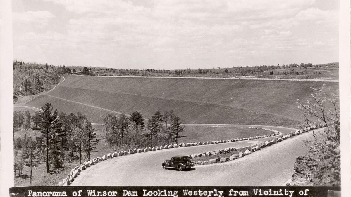
DCR's trail guides describe the reservoir as created by "two huge earthen dams." Winsor Dam holds back the Swift River at the west end of Quabbin Park; Goodnough Dike stands at the east end, where Beaver Brook used to flow. DCR's fishing guide says the reservoir was "created in the 1930s by the construction of Winsor Dam and Goodnough Dike." The Friends of Quabbin chronology says the dam and dike area opened to the public in 1945. More on the construction in Quabbin history.
Rules
No fishing from the dike or the baffle dams. No dogs, drones, alcohol, fires or swimming. Stay on marked paths. See rules and regulations.
Goodnough Dike FAQ
Where is Goodnough Dike?
At the east end of Quabbin Park, off Route 9 between Belchertown and Ware. Enter at the Middle or East entrance and follow the park road to the Goodnough Dike parking area.
How long is Goodnough Dike?
DCR gives it as nearly half a mile, 2,140 feet.
When was Goodnough Dike built?
It was completed in 1938, as part of the 1930s construction of the Quabbin Reservoir.
Can you walk on Goodnough Dike?
Yes. DCR suggests walking across it for the view. Cars are not allowed across the dike.
Can you fish at Goodnough Dike?
No. Fishing is not allowed in Quabbin Park (except below Winsor Dam) or from the baffle dams.