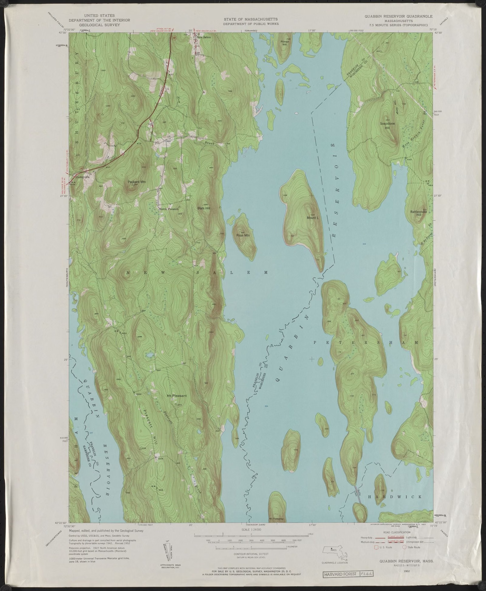
Quabbin Reservoir Maps
Which official map answers which question
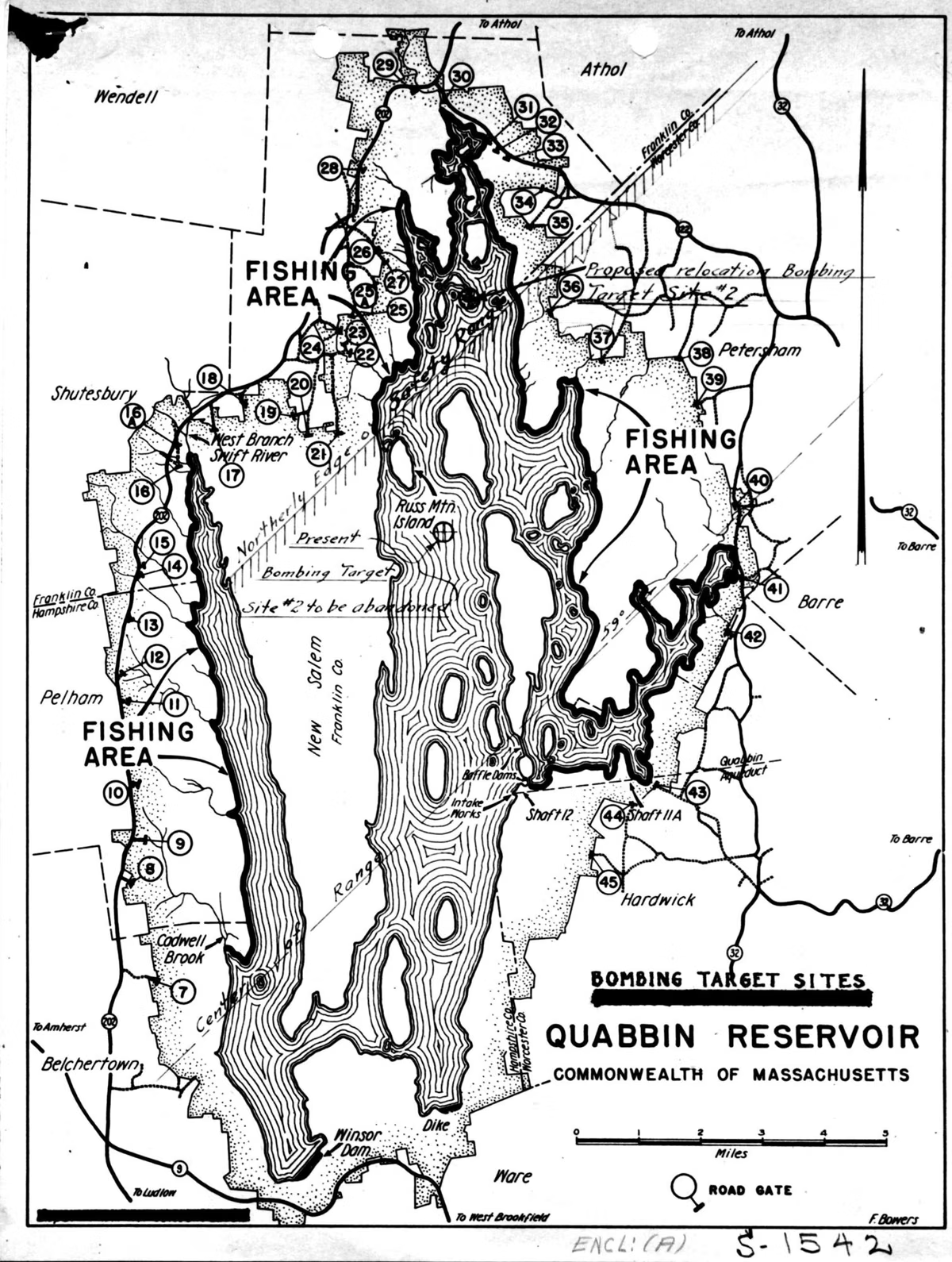
The official Quabbin Reservoir map is DCR's interactive Public Access Map, which shows every public road, trail, gate, fishing area and hunting zone around the reservoir. Open it in a web browser or, in the field, in the free ArcGIS Field Maps app. DCR also publishes a fishing map, a public access summary with a system map, trail guides for Quabbin Park, and a cemetery map. For depth, MassGIS has a 10-foot bathymetry layer.
The reservoir is 18 miles long with 181 miles of shoreline and about 60 islands, so which map you need depends on what you're doing. Here is each one and what it answers.
Maps at a Glance
DCR Interactive Public Access Map (Gates Map)
This is the map most people mean by "Quabbin gates map." DCR's Division of Water Supply Protection built it to show public access roads, trails, fishing and hunting across the Quabbin, Ware River, Wachusett and Sudbury watersheds. Open the legend and select a property to see its details. DCR says the map meets current accessibility guidelines. Open DCR's Public Access Maps.
For use on the ground, DCR recommends the ArcGIS Field Maps app on your phone, and publishes instructions for setting it up. How the gates themselves work is on our gates page.
Quabbin Fishing Map
DCR's Quabbin Reservoir Fishing Map (PDF, updated March 2026) is the map DCR's fishing guide points to for the designated restroom landing sites, the only places boats may beach (marked by white buoys). It pairs with the one-page season handout, which has its own map. Before you drive out for a rental, check DCR's rental boat availability dashboard, updated every 15 minutes. See the fishing guide and boat rentals.
Quabbin Park Trail Maps
DCR's StoryMap trail guides cover each of the eight Quabbin Park trails, with a map tour, trailheads and notes at each stop. Our Quabbin Park trail map page lists all eight with their DCR distances and blaze colors, and links to the guides.
Public Access Summary and System Map
DCR's four-page Quabbin Reservoir Watershed System Public Access Policies summary, from its 2018 access plan, includes a system map and a chart of what's allowed where: Quabbin Park, the reservation, off-reservation land, the reservoir, the regulating ponds and the off-watershed ponds. It's the quickest way to check a specific activity. Our rules page covers the main points.
Quabbin Depth Map (Bathymetry)
MassGIS, the state's GIS office, publishes "Quabbin Reservoir Bathymetry": depth contours at 10-foot intervals, plus polygons by depth range, made by DCR's Division of Water Supply Protection. They were built from elevation points surveyed in the late 1920s, before the valley was flooded, with the current shoreline, Winsor Dam and Goodnough Dike added. You can view the layers in MassMapper under Physical Resources > Topography (Elevation) > Quabbin Reservoir Bathymetry, or download them (QRBATH_ARC for contour lines, QRBATH_POLY for depth polygons).
MassGIS warns that soil movement and errors in the original mapping mean the data isn't accurate enough for precise navigation. Treat it as a guide for finding deep water, not a chart.
Cemetery Map
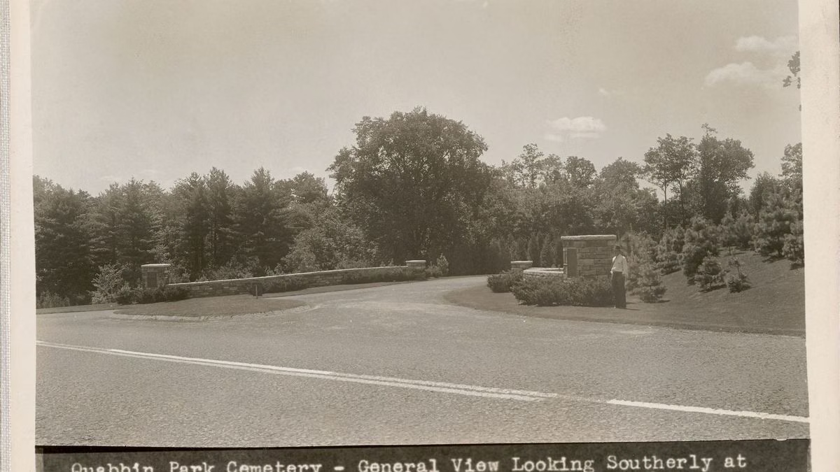
For Quabbin Park Cemetery, DCR publishes a cemetery map PDF and an interactive web app with a map of the cemetery that searches gravesites by name and lot ownership.
Hunting Map
During deer season, DCR's interactive hunting map shows the zones and the boundaries of areas closed to the public during its controlled hunts. Check it before late-fall walks.
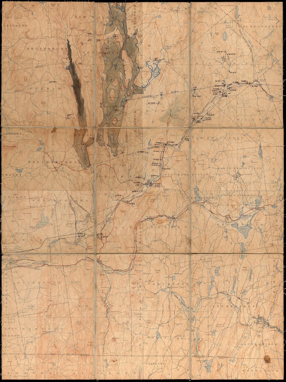
Paper Maps
DCR says maps and information are available at the Quabbin Visitor Center at Winsor Dam, open Thursday through Tuesday.
Maps FAQ
Is there a map of the Quabbin gates?
Yes. DCR's interactive Public Access Map shows every gate, road and trail around the reservoir. DCR recommends using it in the ArcGIS Field Maps app on your phone.
Where can I get a Quabbin fishing map?
DCR publishes a Quabbin Reservoir Fishing Map as a PDF on mass.gov, which DCR's guide uses to show the designated restroom landing sites.
Is there a depth map of Quabbin Reservoir?
Yes. MassGIS publishes Quabbin Reservoir Bathymetry, 10-foot depth contours made by DCR. It isn't accurate enough for precise navigation.
Can I get a paper map of Quabbin?
Yes, at the Quabbin Visitor Center at Winsor Dam in Belchertown, open Thursday through Tuesday.